This website uses tracking tools, including cookies. We use these technologies for a variety of
reasons, including to recognize new and past website users, to customize your experience, perform
analytics and deliver personalized advertising on our sites, apps and newsletters and across the
Internet based on your interests.
You agree to our and by clicking I agree.
You will need to login or register before you can post a message. If you already have an Agriville account login by clicking the login icon on the top right corner of the page. If you are a new user you will need to Register.
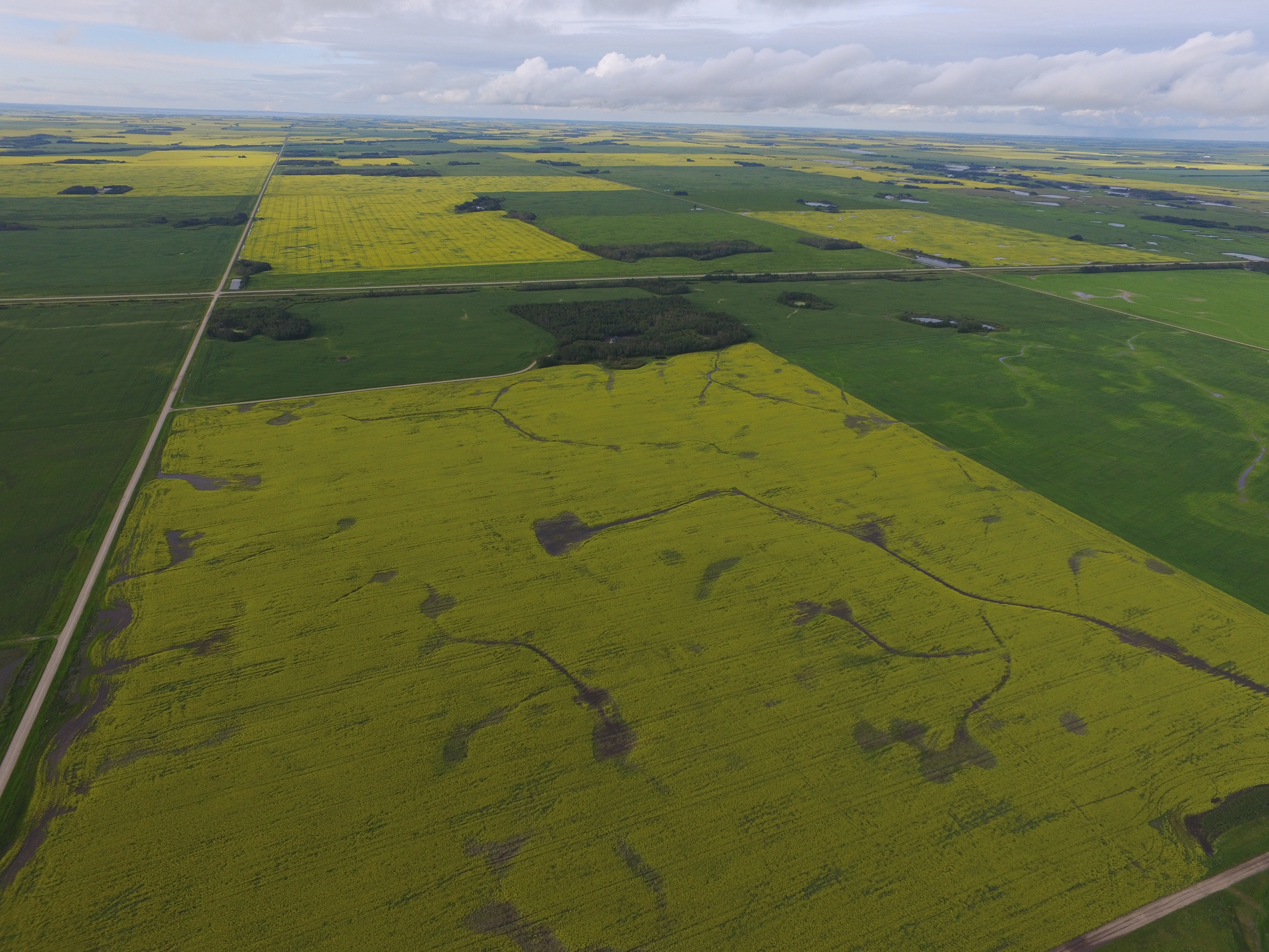
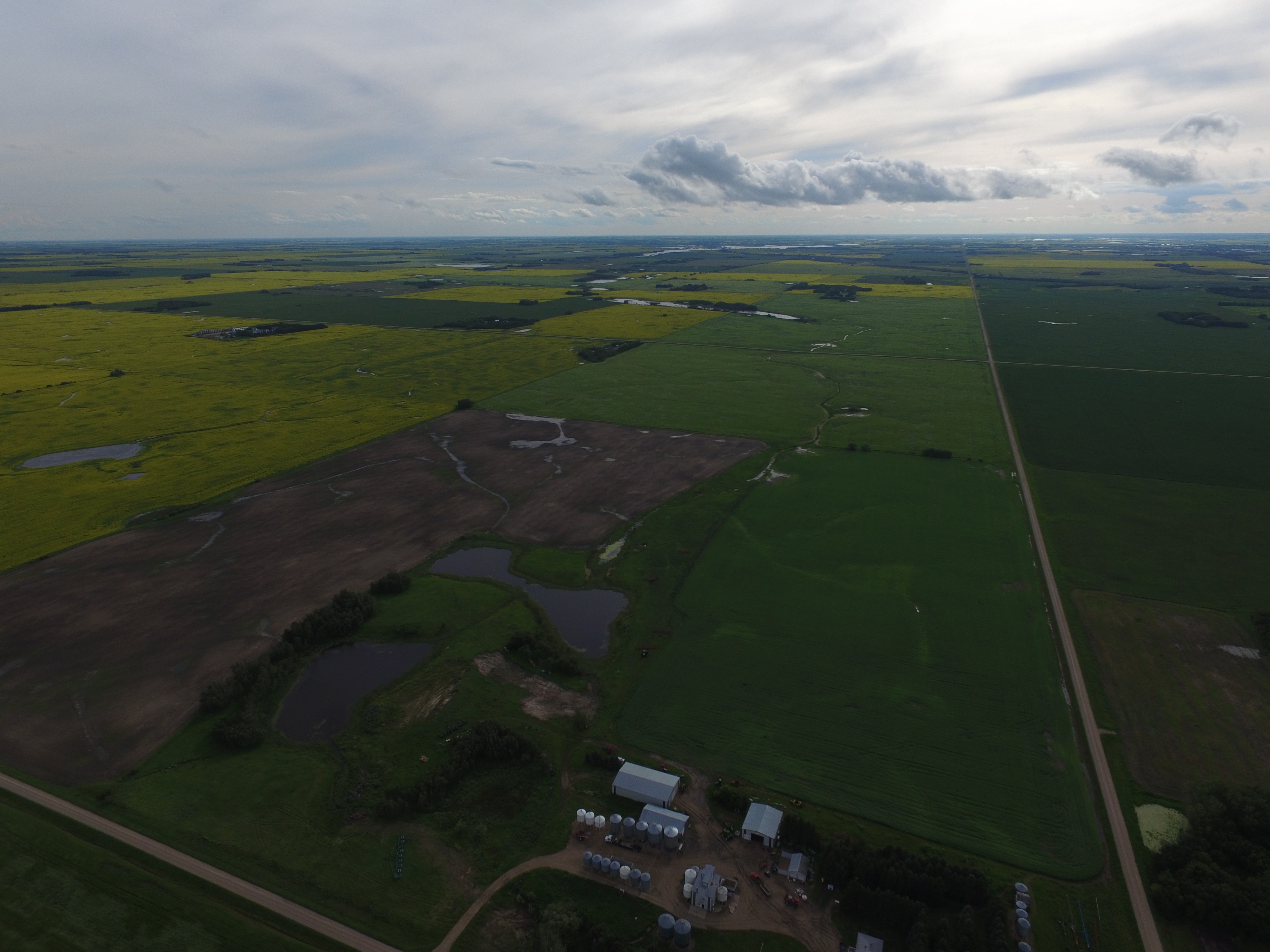
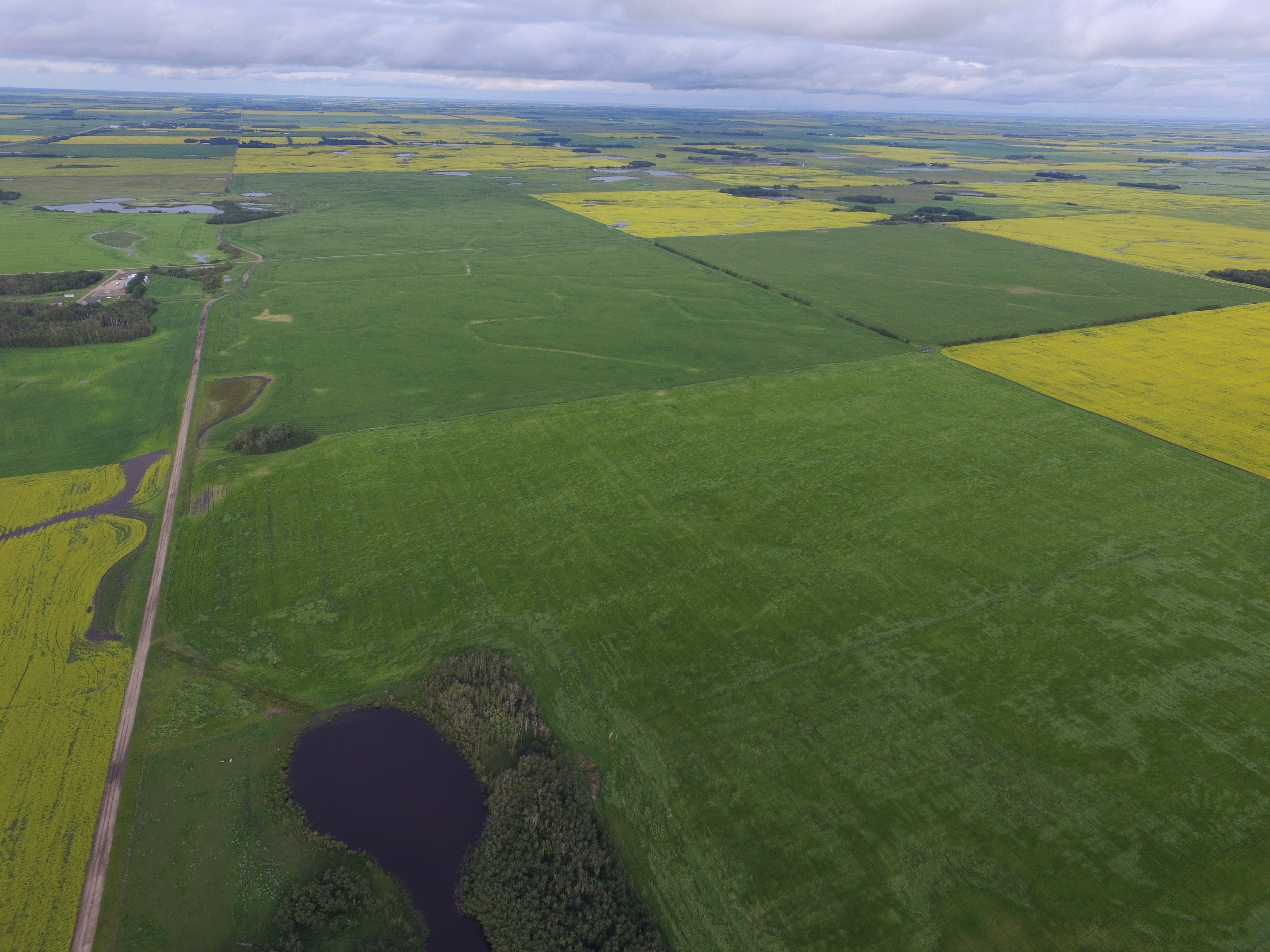
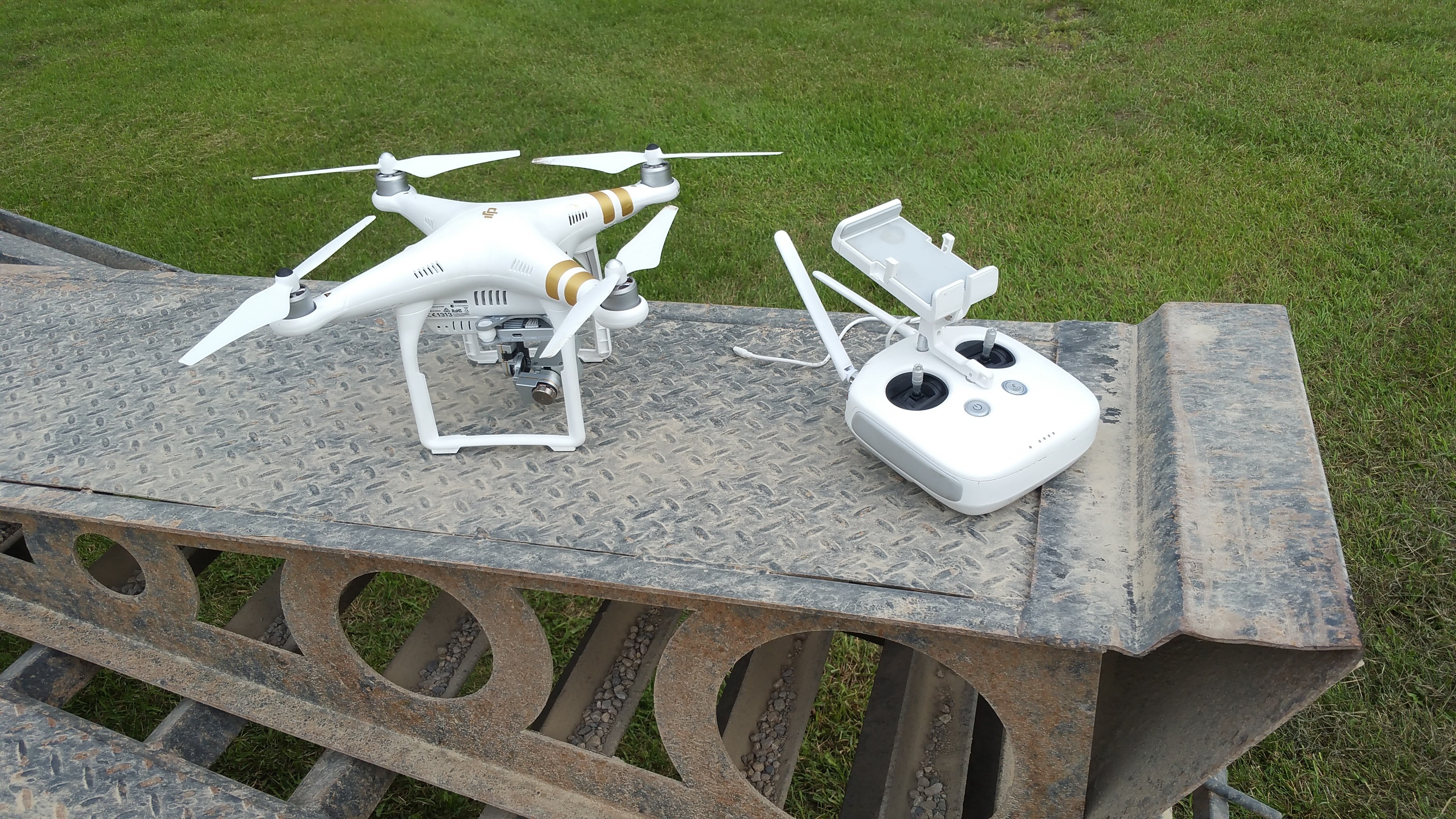
Drone pics
Collapse
Logging in...
Welcome to Agriville! You need to login to post messages in the Agriville chat forums. Please login below.
Those pictures were taken from 180m maximum altitude for the p3 is 500 meters. HOWEVER flying this high requires knowledge of aviation and a radio so you can let planes know you are there, and so you can get out of their way. We are only 6 miles from Humboldt airport...
With apps like drone deploy you can run a full field and get 1cm/px elevation maps and NDVI imagery. I'll post some later.


Comment